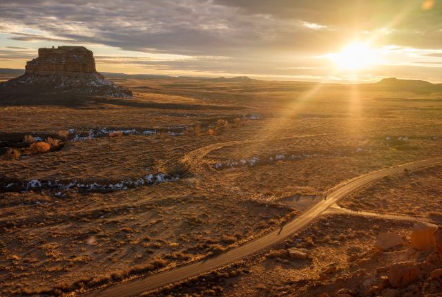
ROADS SPIDERWEB ACROSS the landscape surrounding Chaco Culture National Historical Park, often constructed in remarkably straight lines that are maintained over cliffs and canyon rims. Unlike “roads” as we view them today, these pathways may not have been solely tools of efficient commerce and travel.
Practicality likely played a part: People were hauling logs from distant mountains and carrying trade goods from as far away as Central America and the Pacific Ocean over sandy ground. As new technology helps us to better understand these routes, however, they also offer glimpses of deeper purposes and meanings, says archaeologist Robert Weiner, who is the author of a forthcoming book, Chaco Ways, about the roads and their meanings.
Like the Chaco great houses, Weiner says, the roads can be seen as monumentalizing the landscape, crafting certain experiences and connecting to powerful places. The roads found at Chaco are often up to 30 feet wide—much wider than would seem necessary. They seem to stop in the middle of nowhere, but a closer look reveals the roads aim toward certain peaks visible across vast, open land, and other landmarks and crucial resources, like water. They even return to structures that were abandoned well before the Chacoan era. “The people who Native people [today] see as ancestors were connecting back to their ancestors,” Weiner says. “They were interested in these physical archaeological traces of the past.”
A “Chacoan Road” sign along Pueblo Pintado.
The roads are often difficult or even impossible to see from ground level. So for centuries, the network remained nearly invisible. Now, technology called LiDAR uses lasers to create high-definition maps revealing ground surface changes beneath vegetation.
In January 2025, the journal Antiquity published a study Weiner co-authored that used LiDAR to identify new lengths of road near the Gasco site, about 50 miles from the main canyon. The nearly four-mile road links to natural springs and a rock semicircle that may have been a roadside shrine. The road also runs directly toward where the sun rises over Mount Taylor on the winter solstice.
Hundreds of such roads may exist in the region, but they are quickly deteriorating through natural processes and human development. With the destruction of those physical traces, archaeologists and tribal members see a loss in understanding how Chaco’s structures connect themselves to a wider universe. Phillip Tuwaletstiwa (Hopi), who has studied Chaco, encourages inverting the view: “[A road is] not coming out of the great house,” he says. “It’s going into the great house and anchoring the great house in spiritual space.”
While the roads may be tough to see, hiking trails in the park allow for a connection with Chaco residents of the past. “Just walking through that landscape along a constructed pathway and feeling one’s position within the surroundings is an important part of what Chaco was about,” Weiner says.
Read more: The Ancestral Puebloan culture that thrived in Chaco Canyon continues to reveal new signs of its reach and influence, even as it keeps some secrets.
TAKE A WALK
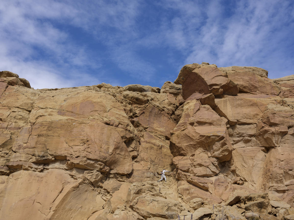
Much of the Pueblo Alto Trail travels alongside the Great North Road, which starts just east of Pueblo Alto and runs north 35 miles to Kutz Canyon, near Twin Angels Pueblo outside Bloomfield. The 5.5-mile loop trail crosses a section of the road, where a sign marks the path cleared through a rock-strewn sandstone face.
The 4.5-mile loop South Mesa Trail visits Tsin Kletsin great house and returns along some of the Chacoan South Road, a main entry point to the canyon for travelers from the south. Rock-cut staircases, earthen ramps, and stone berms kept the roads in straight lines over rugged terrain. One of the Chacoan stairways wraps over the canyon rim as it connected the great houses Tsin Kletsin and Chetro Ketl. Spot it from a signed pullout on the loop road.